
Monsal Dale - Peak District Walk
Tuesday 5th September 2023
I originally planned on doing this walk yesterday but never even made it into the Peak District as the traffic queues were so bad. An early start today meant I avoided the worst of the traffic and only passed one group of walkers until I reached the Monsal Trail. I planned the route to ensure I would be in the open earlier in the day and in the dales when the heat was starting to build. I also hoped that I would be able to access the Monsal Trail at Cressbrook but as information on the bridge at Water-cum-Jolly is sketchy doing it in this direction meant I could make an easy change of plans if required.
Start: White Lodge car park (SK 1704 7063)
Route: White Lodge car park - Brushfield Hough - Brushfield - High Dale - Litton Mill - Miller's Dale - Water-cum-Jolly - Upperdale Farm - Monsal Trail - Monsal Dale - White Lodge car park
Distance: 6.25 miles Ascent: 391 metres Time Taken: 3 hrs 20 mins
Terrain: Clear paths
Weather: Hot and sunny, with a gentle breeze
Pub Visited: None Ale Drunk: None
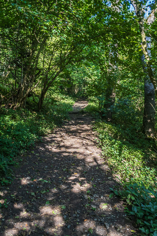
The walk starts with the steep climb up through the woods to Brushfield Hough.
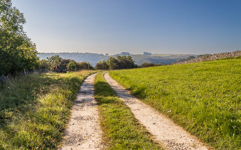
Once at the top I can look across Taddington Dale towards Taddington Wood and Taddington Field.
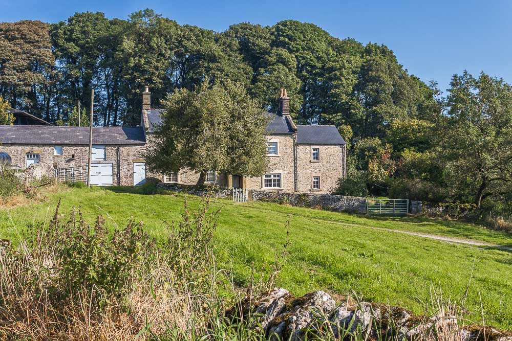
The path around Brushfield Hough is very well signed and what was once a mud fest by the gate is now a nice and easy route.
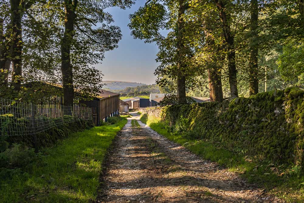
Looking back to the farm as I leave Brushfield Hough.
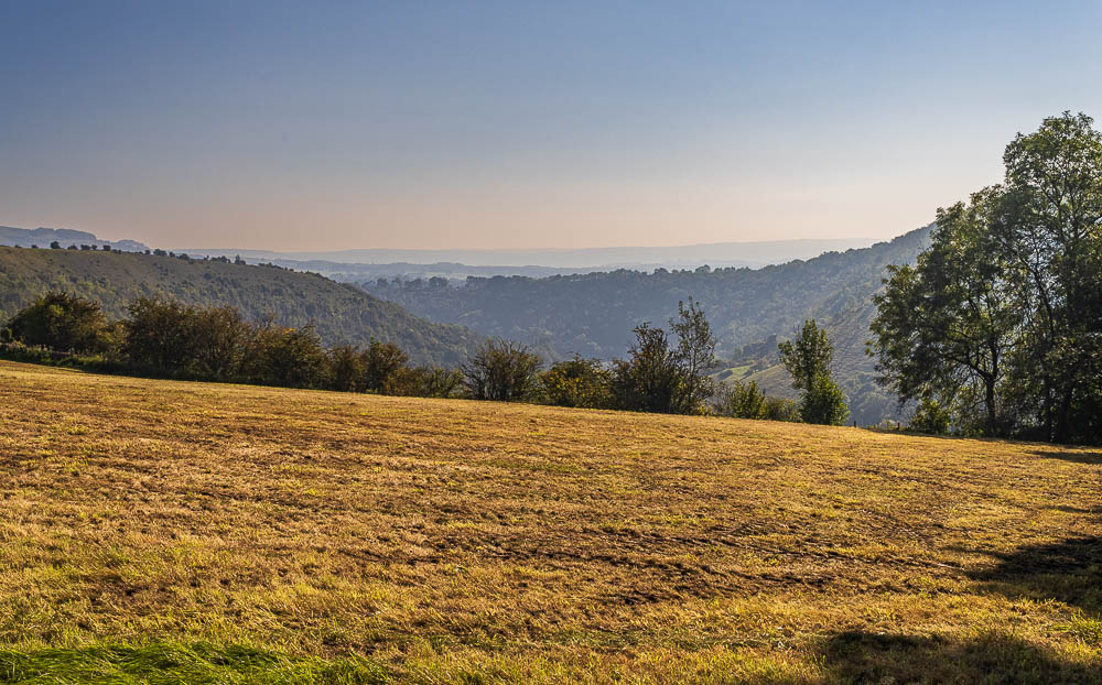
Looking across Monsal Dale towards Monsal Head, from Brushfield Hough.
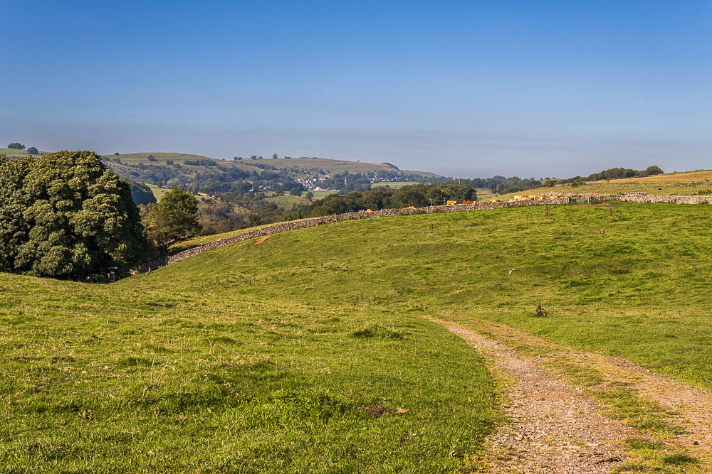
I don't often walk the route this way around so it is nice to be able to enjoy the views across to Taddington and Sough Top.
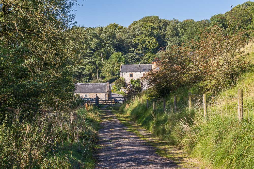
I soon reach Brushfield and so far I have only met one group of walkers.
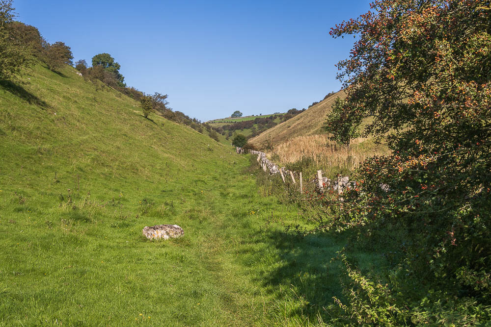
Rather than head uphill along Bulltor Lane I prefer to follow the lane downhill and head along High Dale, a place where I have rarely met anyone else.
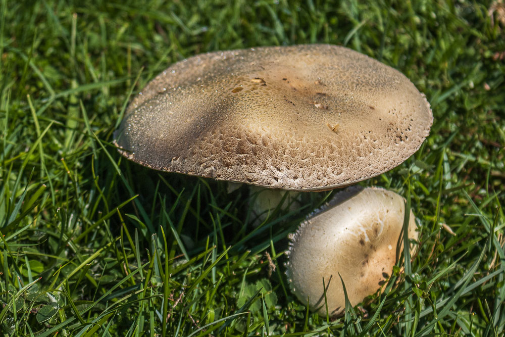
As I was heading out of High Dale I spotted some fungi that wasn't broken and still had that morning's dew on it.
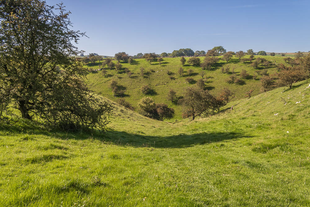
Looking back to High Dale as I head back up to Bulltor Lane.
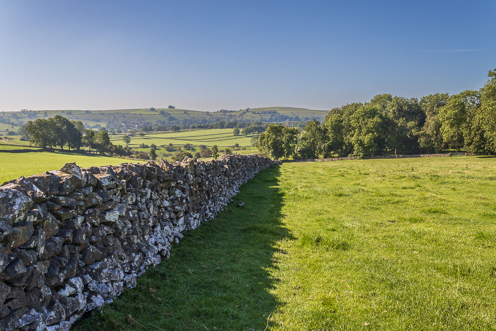
Looking across Bulltor Lane to Chelmorton Low.
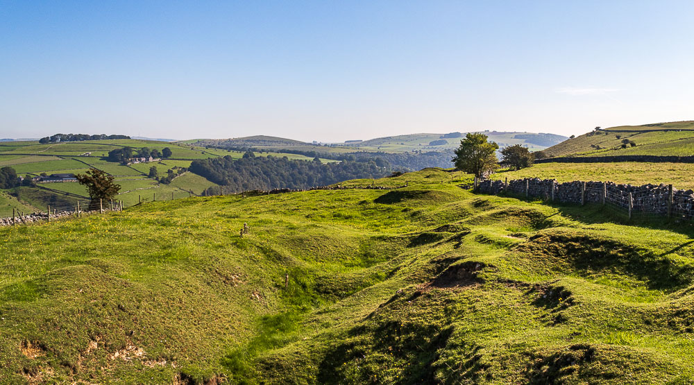
Having crossed the stile at the top of the field the view changes completely. Now I'm looking across Miller's Dale to Wardlow Hay Cop and Longstone Moor.
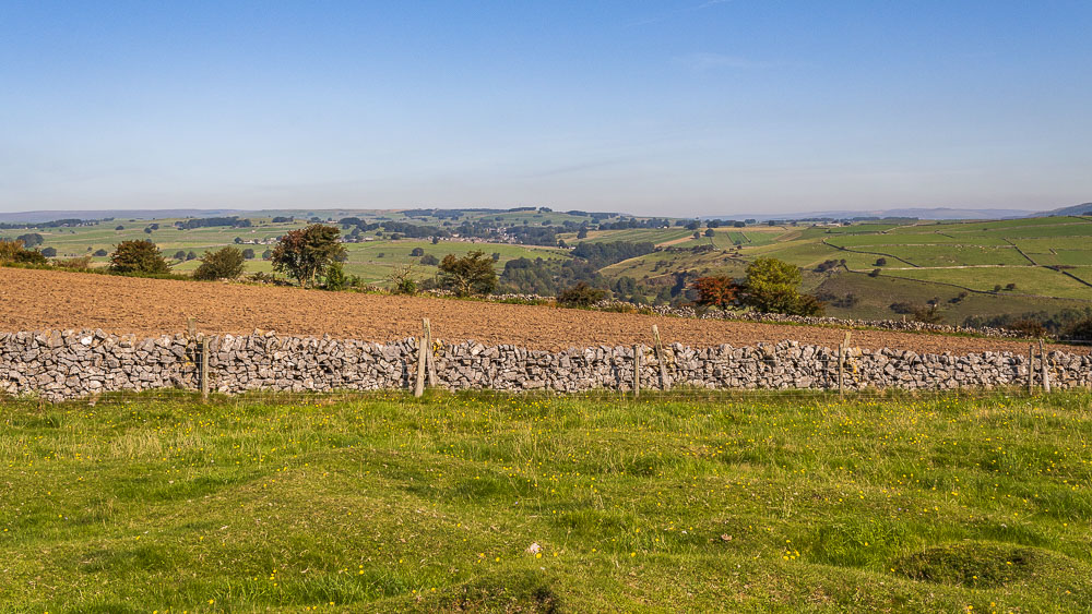
Looking in the opposite direction I can make out the mast on Tideslow Rake and a distant hazy view of Mam Tor.
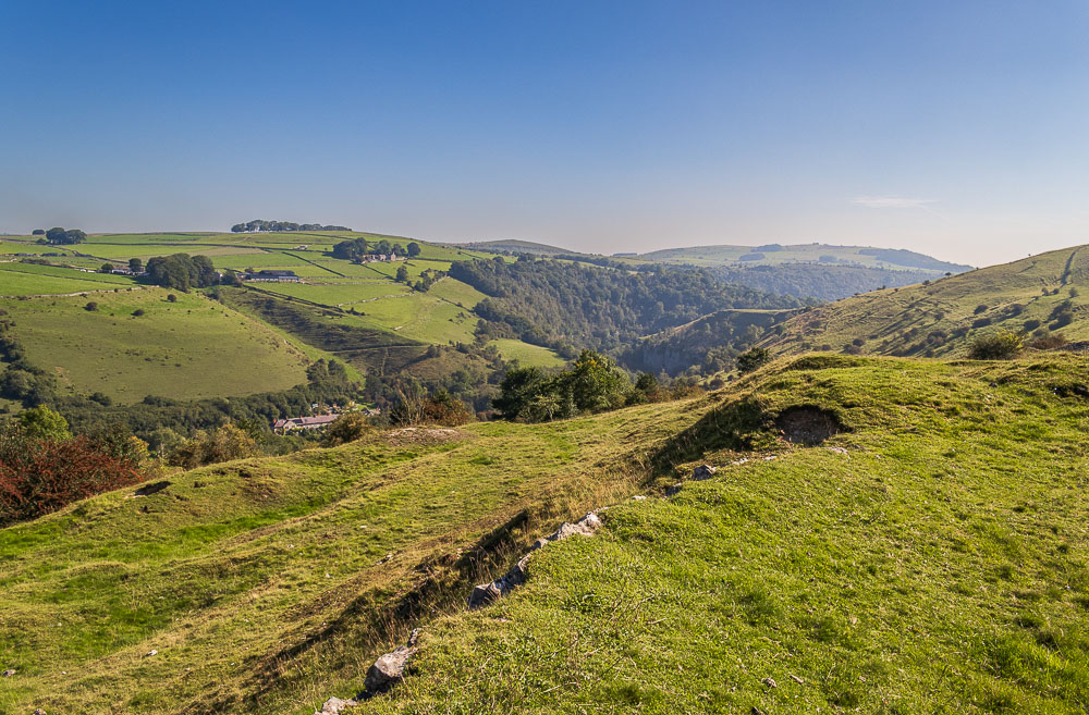
As I start to make the steep descent the houses in Litton Mill come into view.

I soon reach the steps which will take me down onto the Monsal Trail.
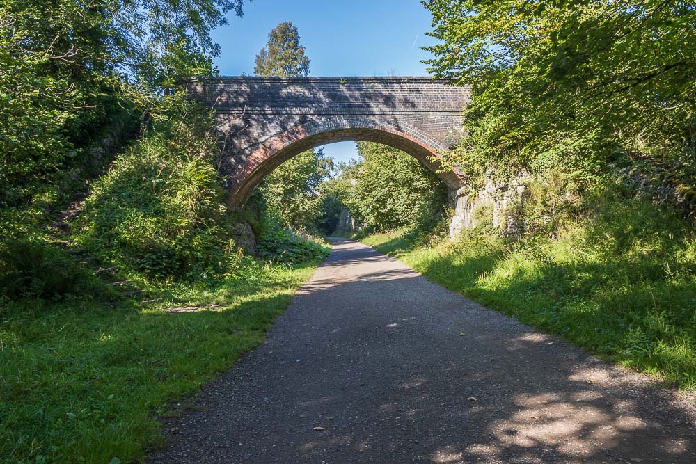
Looking along the Monsal Trail, which I could have opted to follow back to the viaduct.
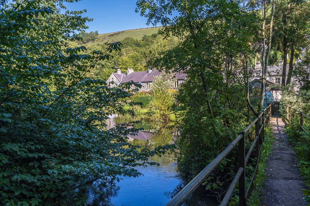
I don't follow the Monsal Trail, instead I cross the trail and take the path down to the bridge across the River Wye at Litton Mill.
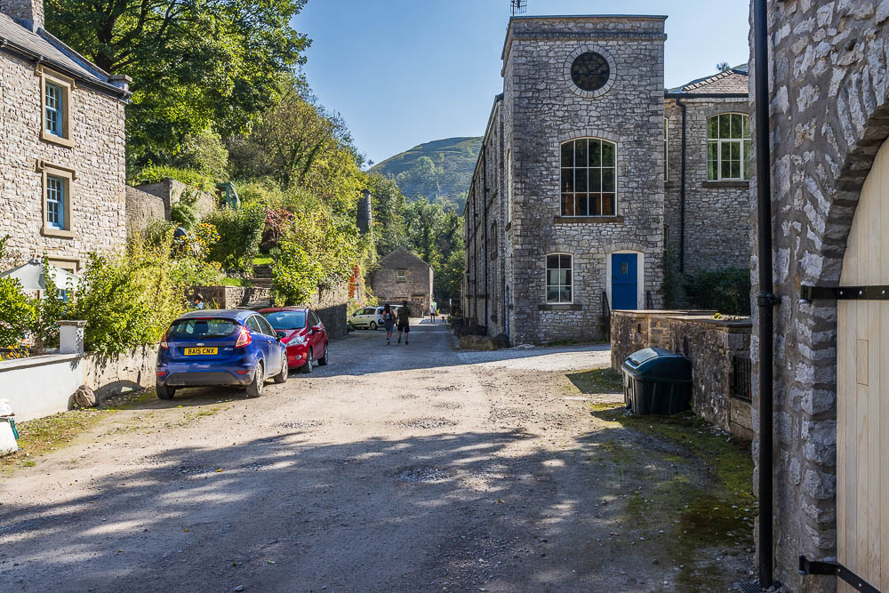
Walking through Litton Mill and I'm now starting to see and meet other walkers.
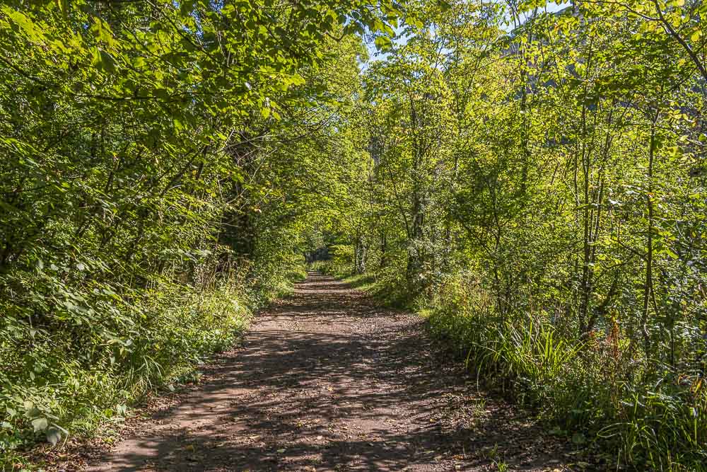
The walk through Miller's Dale is very peaceful and shady, something that I'm now appreciating as the day is starting to warm up.
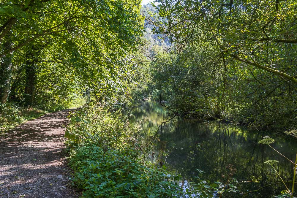
Walking through Miller's Dale I get to enjoy the reflections in the River Wye.
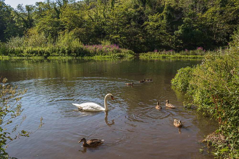
As I approach Water-cum-Jolly I start to see more sign of the wildlife that is usually on the river.
Looking across to the Rubicon Wall at Water-cum-Jolly.

I had hoped that the bridge at Water-cum-Jolly would have been repaired by now, but it hasn't. I had seen a couple cross it earlier but decide not to do so and instead follow the track through Cressbrook Mill to the road.
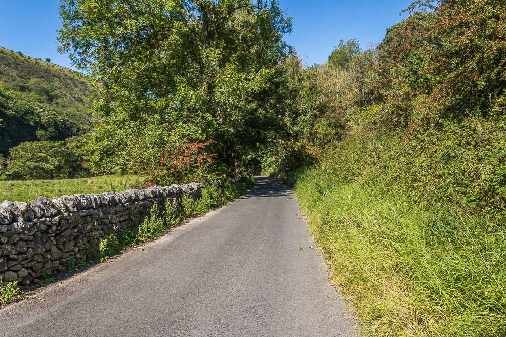
The walk along the road towards Upperdale is very peaceful and unlike the last time I was here I'm not passed by a single car.
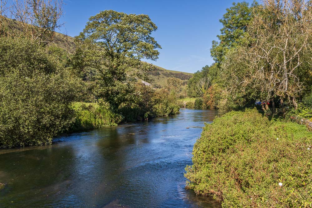
I take the bridge and bridleway at Upperdale Farm to get back onto the Monsal Trail.
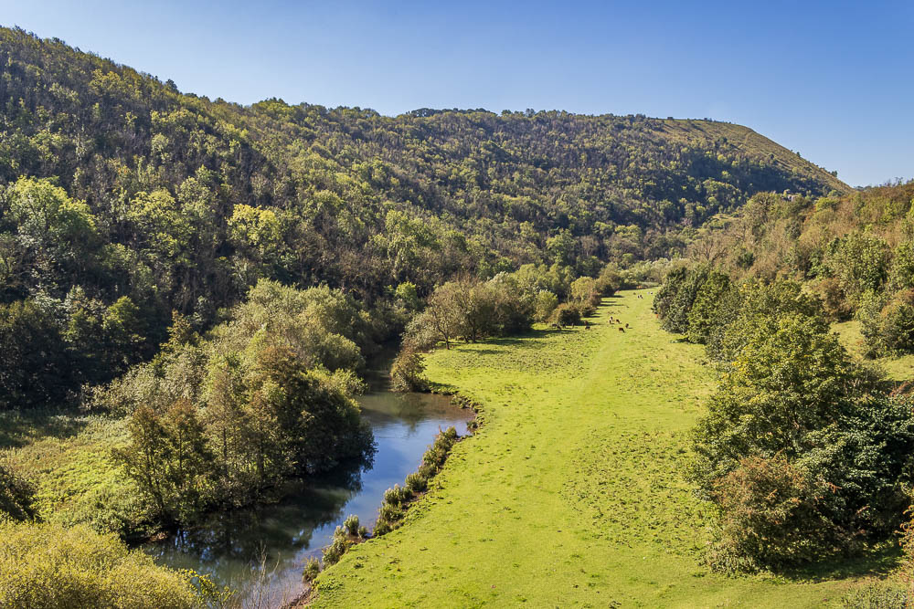
I make a slight diversion to the top of the viaduct to enjoy this view of Monsal Dale and Fin Cop.
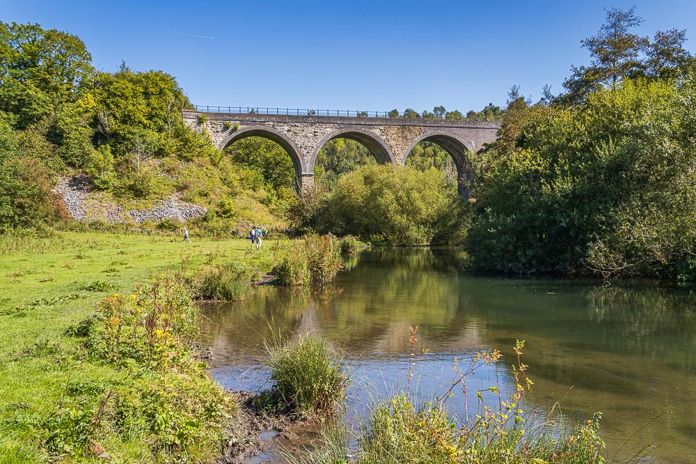
Having dropped down into Monsal Dale I can enjoy a view of the viaduct.
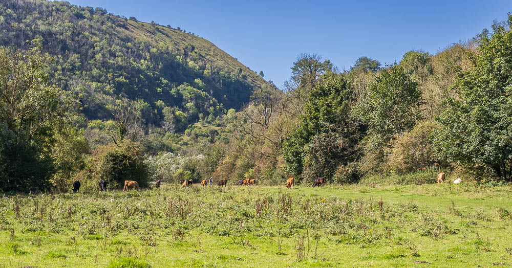
As usual the cows are in residence, but they are far more interested in the grass than the people and dogs that are walking through them.
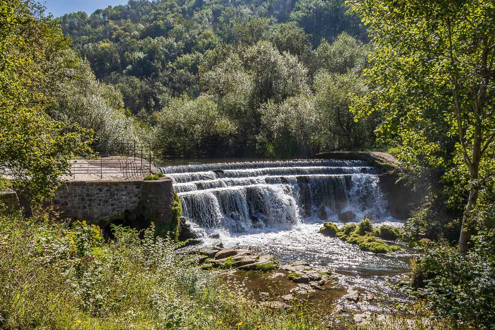
Access to the weir is still blocked, although someone has removed some of the fencing and as I sat having lunch I could watch people who had accessed the water from close to the weir.
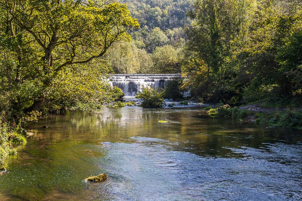
I sat having an early lunchbreak looking across to the weir.
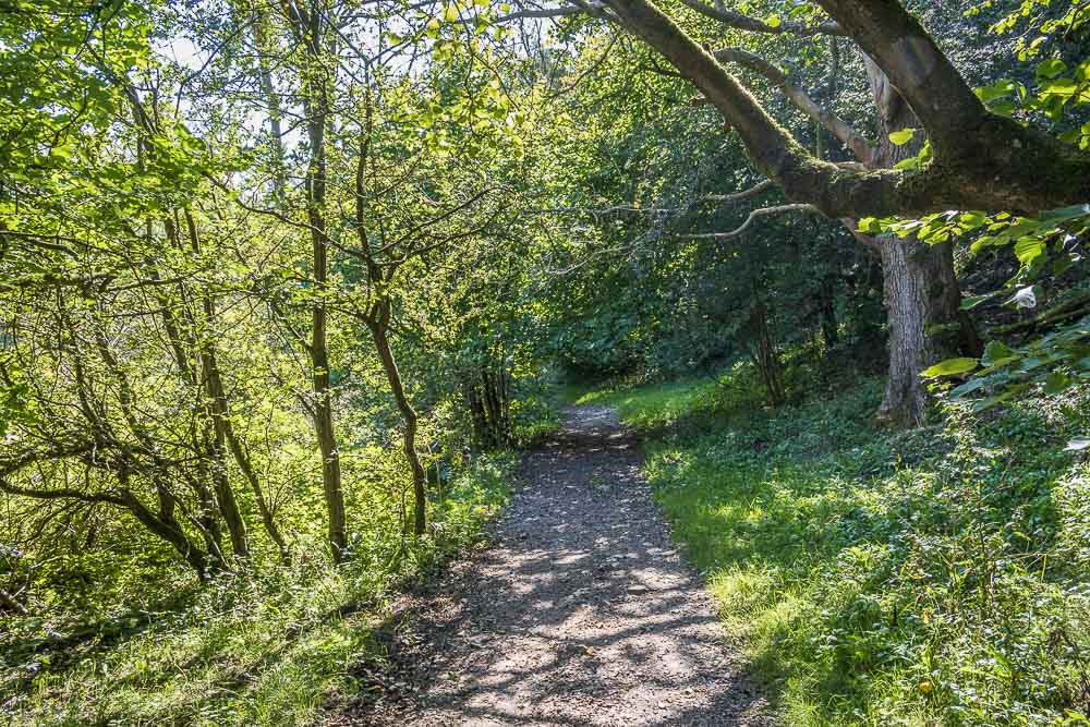
Lunch over I follow the path through the dale.
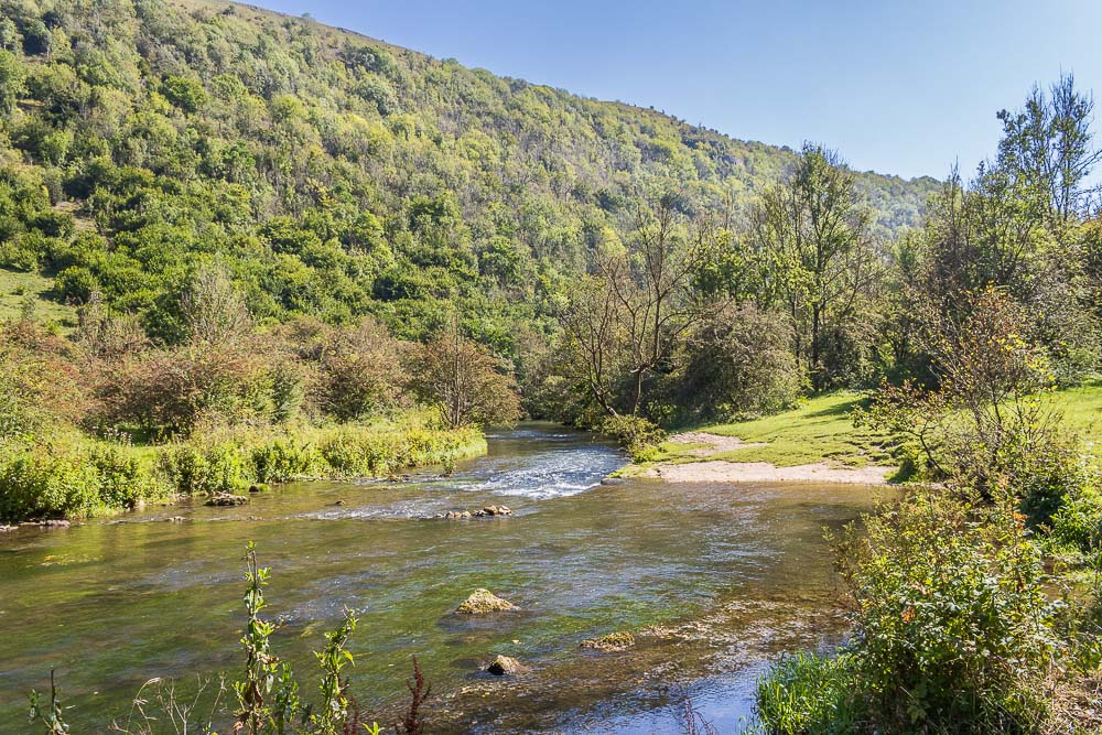
Although there were plenty of places where people were swimming in the river I was surprised to see this area was empty. Being the closest to the car park and road it is usually the busiest.
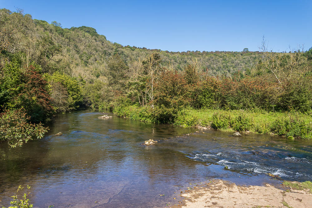
A final look back along Monsal Dale before I do the five minute walk that will take me back to my car.
All pictures copyright © Peak Walker 2006-2023